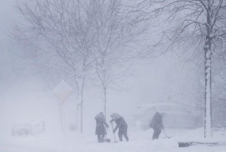
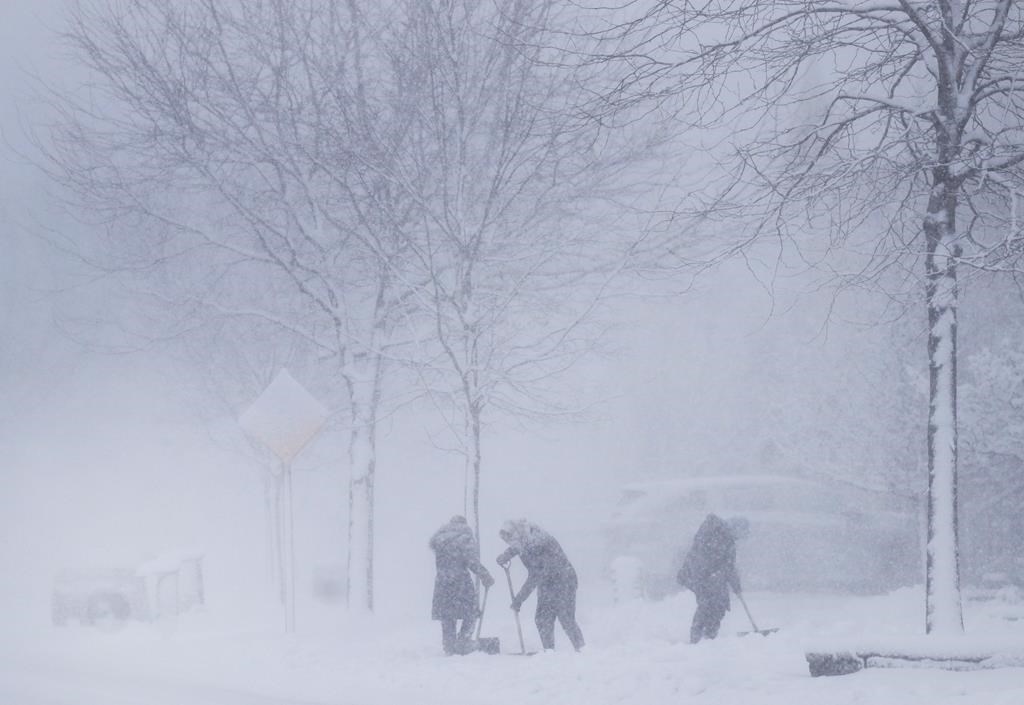
TORONTO — A messy mix of snow, ice and freezing rain moved across southern Ontario on Wednesday, plunging the region back into the depths of winter after several days of milder weather, with Environment Canada predicting colder temperatures into the weekend.
A winter system from the northern plains of the United States rolled in to southwest parts of the province early in the day before hitting the Greater Toronto Area. The storm was then headed for Ottawa but icy weather was predicted to linger over several regions until Thursday.
“This one is a fairly well known storm track (that) brings a lot of moisture with it and, with those combination of temperatures, can bring a messy mix of precipitation,” Geoff Coulson, a meteorologist with Environment Canada said in a phone interview.
“On Thursday, we’re expecting a second shot of precipitation possibly moving through that could give more freezing drizzle, freezing rain, ice pellets and snow to various parts of southern and eastern Ontario.”
Environment Canada said up to 20 millimetres of ice will accumulate in the southwest, such as the London and Niagara areas, by Thursday. The storm could cause extensive power outages in the region.
Up to15 centimetres of snow and ice is in the forecast for the Greater Toronto Area, and up to 20 centimetres of snow may fall in the Ottawa area, the weather agency said.
Environment Canada is warning highways, roads, walkways and parking lots across the province will become icy and hazardous so residents should take special care during the storm.
Ontario Provincial Police warned drivers to exert caution.
“We know the system will intensify and change,” said Sgt. Kerry Schmidt. “It could make for some very challenging driving.”
Colder temperatures are to follow the storm into the weekend.
“We’re actually looking at Friday being colder than normal in many areas and still being on the chilly side on Saturday,” Coulson said.
Sunday could see residents in several areas need to put on their most water-resistant boots because the return of mild temperatures may melt the ice into cold, wet slush, Coulson said.
The storm isn’t stretching to parts of northern Ontario but many communities in that region are under extreme cold warnings, Coulson said.
“That cold is expected to continue at least into Saturday in many areas and then the north will also see temperatures become moderate as well,” he said.
A spokesperson for the Greater Toronto Airports Authority said Toronto’s Pearson International Airport had prepared for the storm and has extra staff on standby.
“Winter weather is a reality of life in Canada, and just as any number of services may be affected across the province of Ontario, passengers should be aware that the storm may impact their travel plans into and out of Pearson,” said Ryan White.
Air Canada delayed or cancelled more than 100 flights — or about 23 per cent — by Wednesday afternoon, as the storm became stronger. WestJet had rescheduled or cancelled nearly a third of its trips, an online flight tracking system called FlightAware stated.
FlightAware also listed about 2,200 flights in the United States that were cancelled as of early Wednesday afternoon.
Hydro One said it was prepared to respond to power outages resulting from the storm.
In Toronto, the city’s transit operator said it was preparing for the storm by bringing in extra operators and vehicles. The Toronto Transit Commission also said 41 bus stops would be out of service starting Wednesday evening “until further notice.”
The City of Toronto said it was opening three warming centres during the storm.
Coulson, of Environment Canada, said the storm was the second major blast of winter the province was seeing since a winter system hit Ontario around Christmas.
“There’s actually been a few other snowfalls between those two events but certainly (these two storms) bookend the winter so far,” he said.
Coulson said the “bounce back” to milder temperatures on Sunday for southern Ontario has become the theme for this winter season.
“It has been a milder than normal winter for much of the province of Ontario overall,” he said.
“I believe back in 2015 (or) 2016, we had a number of winter months that were milder than normal so it’s not unheard of for something like this to happen, but certainly it only happens from time to time.”
Last week on Feb. 15, for example, he said the province broke a record of 12.2 C set in 1954 when temperatures rose to about 14 C.
Coulson said there’s isn’t one specific reason why winter has been so mild in Ontario.
“It’s going to be something climatologists and research meteorologists will be looking at in the months ahead.”
This report by The Canadian Press was first published Feb. 22, 2023.