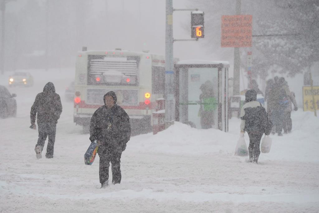
A major winter storm is expected to pass through parts of Ontario, bringing heavy snowfall and a risk of freezing rain.
Environment Canada says snow associated with a “major” winter storm is forecast to arrive Tuesday and continue into Wednesday morning, as it placed parts of central and eastern Ontario under a storm watch.
The heaviest snow is predicted for central Ontario, including Sault Ste. Marie and Greater Sudbury, where Environment Canada is calling for between 15 and 30 centimetres starting Tuesday afternoon.
Ottawa and the surrounding area are also under a storm watch with Environment Canada predicting 10 to 20 centimetres of snow, possibly turning into freezing rain and ice pellets Tuesday night.
Toronto, Hamilton and communities along Lake Ontario’s north shore are also under a special weather statement, with Environment Canada forecasting snowfall of between five and 10 centimetres, hazardous travel conditions and possibly up to 40 millimetres of rain around the lake.
Areas a bit further north, around Owen Sound, Barrie and Kawartha Lakes, are also under a special weather statement with a predicted risk of freezing rain and up to 15 centimetres of snow.
This report by The Canadian Press was first published Jan. 8, 2023.